National
Forests: District officials train in hi-tech applications
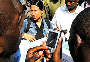
KIGALI - The National University of Rwanda’s Centre for Geographic Information Systems and Remote Sensing (CGIS-NUR) has trained district officers on remote sensing and forests management techniques ahead the publication of the country’s forests maps and database. The two-day training held in Butare last week focused on techniques used in gathering geographical information for forests mapping and management. Forty-five officials from the country’s thirty districts attended the training.

District officers learning how to use GPS; middle is Dr Michelle Schilling of CGIS-NUR’s forest mapping project. (Photo/E. Kwibuka)

